
Collierville Neighbors and Block Records
Different records answer different block questions. Register GIS is the direct route from an address to surrounding parcel polygons and recorded property fields. Town maps add planning context. A plat describes the legally recorded layout, while a development application can identify adjoining owners for a particular project. The statewide voter tools confirm a supplied person's registration information, but they do not provide a public street-wide screen. None of these sources is a complete household directory for Collierville neighbors.
| Source | What it shows about a block | Access |
|---|---|---|
| Register GIS | Adjacent parcel polygons, owner, mailing and situs fields, tax map, lot, subdivision, and linked deed or assessment paths | Public map with an informational tax-roll disclaimer |
| County ArcGIS parcel service | Parcel and assessment attributes with documented spatial-query capability | Public REST service for users with GIS knowledge |
| Town map gallery | Zoning, historic resources, land use, subdivisions, sanitation, and annexation context | Public maps and PDFs |
| Recorded plat or development application | Lot, block, easement, street geometry, and project-specific adjoining-owner information | Register or Planning record, with a request route when needed |
| Tennessee voter lookup | Individual registration information when the exact identity is supplied | Person or address query, not a public block roster |
| Town neighborhood registry | Named voluntary communities and a contact-update invitation | Town web list, expressly not comprehensive |
A parcel owner may be an individual, trust, company, or an owner with a separate mailing location. That result establishes a recorded property connection, not who is present at the address. The same distinction protects the value of the map: it provides a dated, bounded record trail rather than a reason to make assumptions about a household.
Map Collierville Neighbors Parcel by Parcel
The immediate-block method starts with one address in the Register GIS, then moves only to adjoining polygons visible on the map. The public interface supports Street Number and Street Name, Owner Name in FirstName LastName format, Parcel ID, and Tax Map ID. Its parcel detail can show the property address, owner name, parcel ID, tax map, subdivision, lot, plat book and page, appraisal, tax district, class or use, dimensions, acreage, and coordinates. Do not claim a public radius button: the reviewed map did not document one.
The Shelby Register GIS is the source of the parcel-viewer image below.
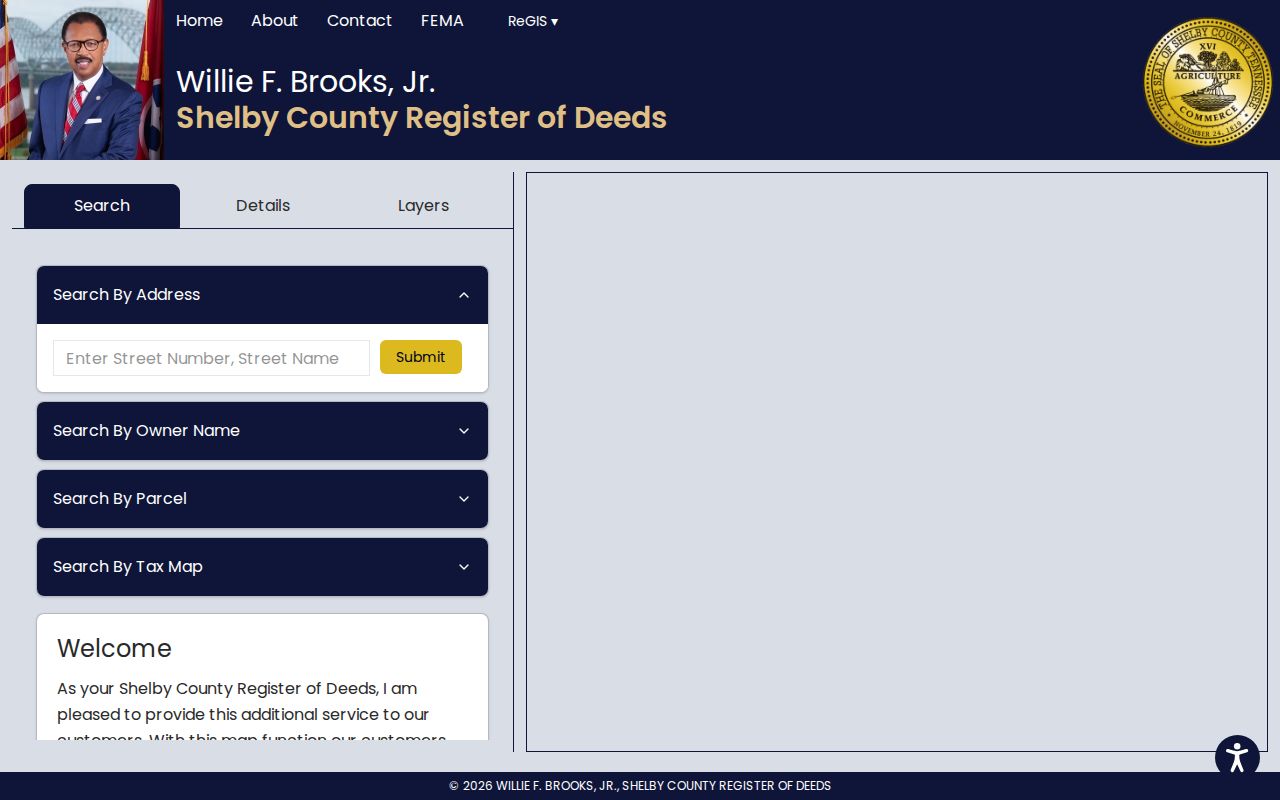
The viewer is useful because it keeps the target tract, neighboring polygons, and the parcel identifiers in one map context. Its stated data warning matters: the map reflects the April 2019 certified tax roll and is not an exact survey or guaranteed legal ownership boundary.
- Search the target address and open its parcel, preserving the situs address, parcel ID, tax map, lot, subdivision, and current record date.
- Pan or zoom to the polygons that touch the parcel and open each one separately instead of inferring a block from street numbers alone.
- Compare the owner field, mailing field, plat reference, and parcel details with the mapped property address for each adjacent tract.
- Use a recorded plat, deed, or Planning record when the question is about a boundary, easement, subdivision, or specific development proposal.
For a longer named-street trail, use the Collierville street directory, which follows address-keyed records along a street rather than limiting the review to the adjoining parcels.
Parcel Details for Collierville Neighbors
Read a parcel card as a property record. The situs address identifies the physical tract used by the map. The owner address is where tax correspondence is directed and may be somewhere else. A parcel ID, tax map, lot number, subdivision, and plat book or page are stronger anchors for matching a deed or recorded plat than a street label alone. When a result uses a company or trust name, keep that name as printed and verify the recorded instrument instead of assigning it to a person.
The Shelby Register property records home is the source of this records-search image.
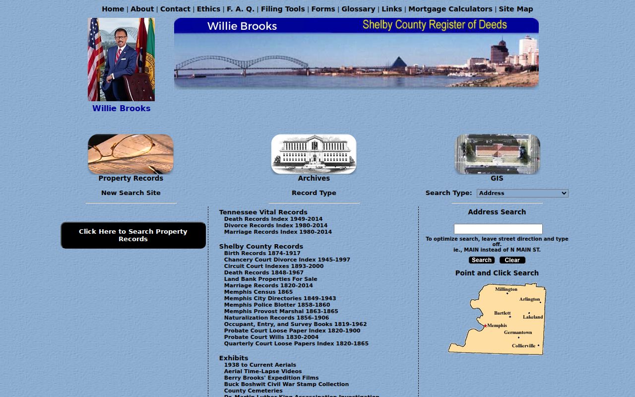
The portal connects property, vital-index, cemetery, and archive search modes, so it should be narrowed to the property or deed question at hand. A result should be cited with its record type and date rather than treated as a combined profile of a person.
| Situs address | The mapped property location used to browse a street or parcel. |
|---|---|
| Owner address | A mailing field for tax correspondence, not proof of physical presence at the parcel. |
| Parcel and tax map | Stable identifiers for joining the mapped tract to assessment and recorded-document research. |
| Lot, subdivision, plat | Recorded layout clues for matching a tract when a road label changes or a project is reviewed. |
| Appraisal and class or use | Assessment context that helps distinguish parcels without establishing household membership. |
Collierville Neighbors Across Map Layers
A block can sit inside a subdivision, beside a town limit, along a reserve-area edge, or near a road, rail, drainage, or flood feature. The Collierville map gallery separates zoning, historic resources, existing and future land use, subdivisions, sanitation, and annexation history. Its purpose is planning context. It does not identify every person attached to an address.
A Collierville mailing label or ZIP code also does not settle municipal jurisdiction. The Town's annexation record describes a Collierville Reserve Area of unincorporated land that remains eligible for annexation. For a block question, label the relationship accurately: an adjoining parcel, the same subdivision, the same postal area, or the same Town service area are not interchangeable descriptions.
Note: Use the parcel map for property geography and the Town maps for planning context, then cite which layer answered each part of the question.
Collierville Neighbor Clues in Plats
A recorded subdivision plat can show lots, blocks, easements, streets, and parcel geometry. It is the right kind of record for understanding how a block was laid out. The Register of Deeds and Town Planning are the relevant custodians for plat and subdivision material. A plan can illuminate a shared easement or a lot boundary even where the map screen is hard to read.
Town subdivision applications can provide a separate project-record route. The documented checklist asks for adjoining property-owner names and addresses, existing zoning and land use, a recent recorded instrument or plat reference, tax-map parcel numbers, and a vicinity map of at least one-half mile. That material applies to a particular proposal. It is not a guaranteed current directory for an entire block, and open planning or code material may require a focused public-records request.
Collierville Neighborhood Registry Channels
The Town's neighborhood registry is a community-contact layer, not a resident list. It names more than 70 voluntary neighborhood or association communities and invites updates through an email form. The Town expressly says the list is not comprehensive and does not promise current board contacts. It can help a reader find the appropriate community channel for notices, covenants, meetings, and local projects without revealing a membership roster.
Schilling Farms and nearby entries
The registry includes several Schilling Farms names alongside entries such as Eastbrook, Halle Plantation, Porter Farms, Shea, and Wynstone Mill. Use the listed community name to narrow a map or plat search.
Oakmont
Public Oakmont material identifies phases 1 and 3, a lake, park, trail, board updates, covenants, bylaws, and architectural-review documents. It is a document and contact channel, not a public member list.
Whisperwoods
Whisperwoods describes a community-watch designation and provides blog, news, board, and property-management resources. Those materials can explain community activity without identifying all local households.
Neighborhood meeting forms can include a name, organization, address, phone, email, and request for updates. The Town states that a signature records participation and does not represent support or opposition. Treat those forms as project-comment records, not as a list of Collierville neighbors.
Voter Records Near Collierville Neighbors
Tennessee offers two different public lookup paths. The statewide Voter Registration Information Lookup requires county, first name, last name, birth month, and birth year. GoVoteTN supports voter or address searching, with an address-and-ZIP option. These tools confirm information for an individual search. They do not offer a public screen that lists everyone on a Collierville block, and they do not show ballot choices.
- Use the statewide lookup only when the county, registered name, birth month, and birth year are known.
- Use GoVoteTN's address path to check the address or polling question stated by that official service.
- Contact the Shelby County Election Commission for a current official request form, certification requirements, available fields, format, and production-cost estimate.
- Keep the result limited to registration or precinct information and do not infer who else belongs to a household.
Tennessee public voter records exclude Social Security, driver-license, and Department of Safety identification numbers. Safe at Home participants appear in the statewide official voter list only by participant identification number. A lookup should never be used to work around a protected address.
Limits on Collierville Neighbor Searches
Official sources are best for the discrete question each one holds. GIS, deeds, plats, and permits can be dated and traced to a custodian. Commercial combined-data tools can merge public filings, old directory fragments, and data-broker material, which can create stale-address or merge errors. Treat a commercial result as a possible lead, then verify the relevant fact with the official parcel, deed, Planning, or election source.
| Record category | Useful for | Important limit |
|---|---|---|
| Official GIS and parcel records | Adjacent parcels, recorded owner fields, lot and tax-map context | Ownership and mailing fields do not identify every household member. |
| Recorded plats and development records | Block layout, easements, subdivision context, project-specific notices | They describe land or a project, not a current community roster. |
| Community channels | Notices, board contacts, covenants, and local project information | Voluntary association material generally does not publish membership lists. |
| Commercial combined-data tools | A lead that may point toward a record to verify | Dates and identity matches can be wrong or incomplete; cite the official record instead. |
Utility customer lists, delivery information, motor-vehicle addresses, protected voter addresses, and unlisted household members are not part of an ordinary block search. Tennessee Safe at Home provides a substitute-address program for qualifying participants, and state election information limits how those participants appear in the official voter list.
Lawful use. Collierville neighbor research is for personal, lawful questions about a block or community. Tennessee's anti-stalking law, T.C.A. § 39-17-315, and other protections apply; never use a public record to monitor, harass, intimidate, or harm anyone.
Note: Preserve the map date, parcel ID, and source URL for each result so a property fact can be checked with the correct custodian later.